OUR AREAS OF FOCUS
Got a mission? We're up for it! While we love to take on all types of projects, these are a handful of our specialties.
REAL ESTATE
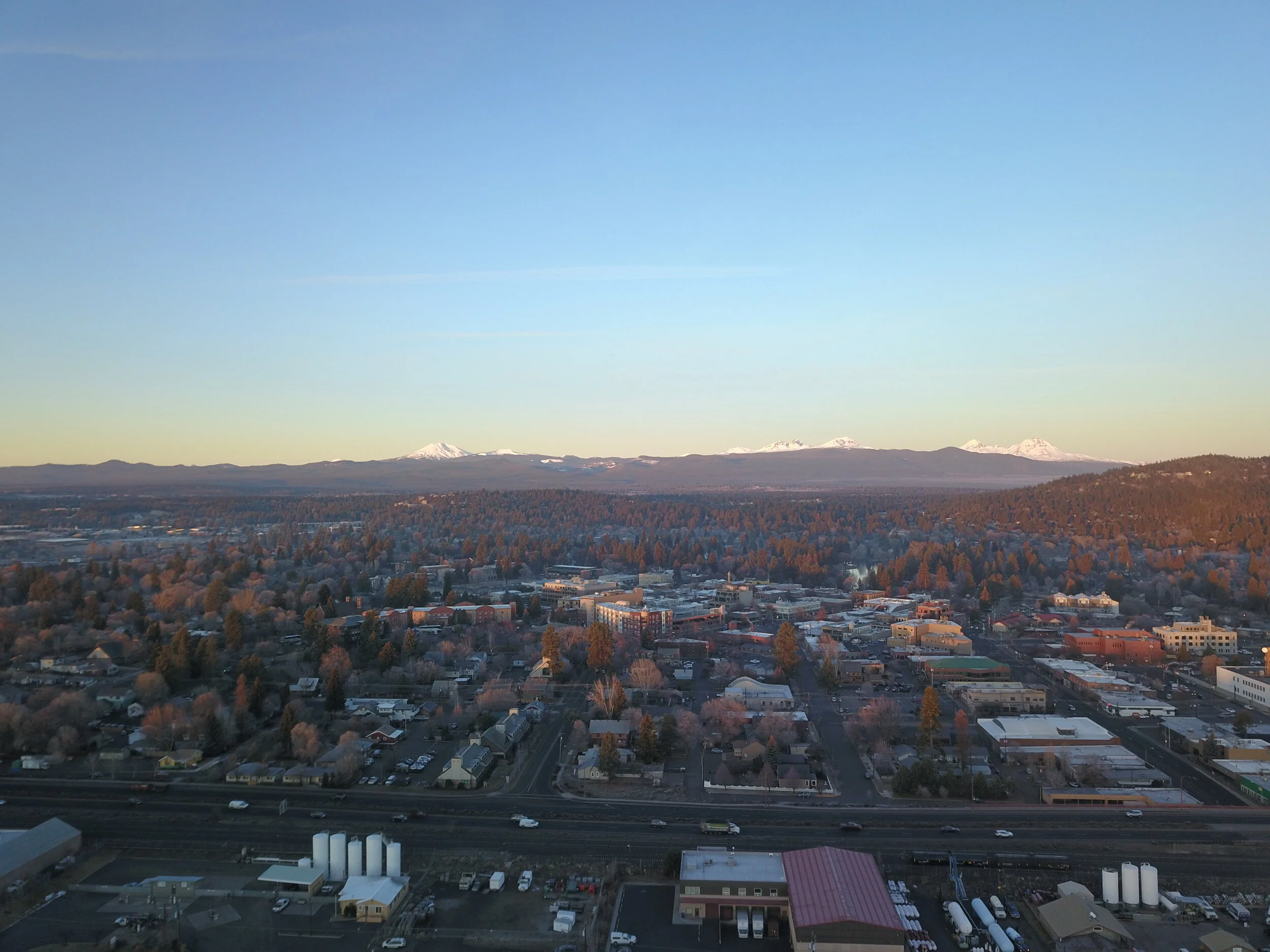
Looking to boost the presence of your property? Aerial imaging offers a whole other perspective, including showing proximity and relative distancing to nearby landmarks and streets.
site views
Want a better view? Our pilots can use still photos and 3D mapping to identify trees that are obstructing site lines for cost-effective view clearances.
CONSTRUCTION
The A/E/C industry is quickly learning the benefits of using aerial imaging and mapping for all types of construction projects, including marketing, data collection and site progress.
EVENTS
Capture your special event with aerial images and videos. We’ll work with you to identify important elements that tell the whole story!

